
IBWOH's: Brian Carlisle, Christopher Carlisle
Summary: A planned two-day camping trip in the 5,000+ acre Black Creek Wilderness was shortened to a day hike due to extenuating circumstances in our households. Black Creek Trail is about 40 miles long, extending throughout the southern section of the DeSoto National Forest, but its length within the Wilderness, which lies within the greater National Forest, is about ten miles. In the end, it felt like 40.
Black Creek Wilderness, established in 1984, can be perhaps divided into three parts, the largest being pine plantation in the southern two-thirds. Along the east-northeast boundary, and following the line of Black Creek, is Red Hills area, where the pine plantation drops down to the creek in a series of high, steep (sometimes almost sheer) wooded bluffs. This slope forest includes extensive stands of mixed pine, beech, silver maple, sweetbay, and bigleaf magnolia, among other species; and I was reminded of a similar forest type, in the wooded ridges leading down into the swamp of the much smaller Leaf Wilderness farther east. Along the north and north-western boundary of the Wilderness grows a somewhat more extensive mixed forest, with fully mature American magnolia (many very tall), sweet gum, and white oak in great numbers, along with tulip poplar, river birch, water oak, and the others mentioned. Dogwood and American holly are common understory species throughout the hardwood forest. Beaverdam Creek, a very large and strong stream, flows north into Black Creek, and the latter forest type extends south from Black Creek to envelop it. At least one wooded oxbow (which we were too tired to explore), along with some fairly extensive swamp forest, lies near Beaverdam Creek. Black Creek Wilderness trail winds some 10 miles through all three habitat types.
There has been, as far as I could tell, no fire activity of substance in the Wilderness for many years. As a result, the pine forest is mostly shortleaf/loblolly, as longleaf requires periodic fire for propagation and general forest health. (There may be stands of longleaf farther south in the Wilderness, more distant from the trail.) However, the impact of Hurricane Katrina, in August 2005, can still be seen in the form of enormous pine boles lying across the trail in many places. They have lain there so long that the bark has long since sloughed off, leaving them slick and green with moss. The trail itself is in many places difficult to navigate, especially in the remote north of the Wilderness, making the going treacherous. I was able to pick the path out at times, but it was more often than not my brother Brian who led the way, spotting the green-stained white diamond markers when the trail was little more than an opening on the forest floor.*
The birds were quiet. Hooded warblers, Eastern phoebes, cardinals, summer tanagers, ruby-throated hummingbirds, Carolina chickadees, and tufted titmice comprised most of the species we encountered. We surprised a flock of wild turkeys on the trail, and heard others clucking out in the forest farther on. Pileateds laughed at us on and off all day long, and I believe I heard a red-bellied woodpecker once; but we never saw any of them, and we did not see or hear any other species of woodpeckers. Nest cavities were mostly restricted to pines, and were not particularly common. Totem trees (dead trees conspicuously pulverized by woodpeckers) were easily found, especially in the mixed forest near the creeks.
Staging our trucks at either end of the trail, we began our hike shortly after 7 a.m., and did not finish until after 5 p.m. Well before Beaverdam Creek, I began to feel the effects of heat exhaustion, as the temperatures were in the low 90's, along with high humidity, no wind, and no relief from the sun among the pines. This slowed our progress considerably, as I knew the only remedy was to stop and allow my body to cool itself. Some relief came with an overcast sky around noon, keeping temps from rising any farther, and I began to feel better, save for the intolerable pull of my daypack on my shoulders. But as I found new strength, Brian -- who seldom ever complains on the trail -- began to admit to fatigue. We plunged ahead, bagging our cameras, weary of the straps dragging on our necks. Luckily, we were largely untroubled by biting insects. Near the trail's end, it follows Highway 29 north for about a mile; and there we were caught in a heavy downpour. Brian had his rain poncho, but mine was in my overnight bag back at home; so while he was drenched, I was doubly so. Luckily, a Forest Service truck came by, and a kindly older employee ferried us through the storm back to Brian's truck.
My drive home was over an hour long. I was a little chilly, sitting there in my wet clothes, so I kept the heat on in my truck for much of the drive. When I got home and got out, I was immediately chilled, and was shivering uncontrollably by the time I made it inside our house. I quickly got into a hot bath, but was still cold afterwards; and as I write this, a day later, I am still running a low grade fever. Apparently, one can get hypothermia in the summer, even in Mississippi.


Conclusions: I have never been in a forest with more types of trees than that found in Black Creek Wilderness. I found no scaling or cavities that could be considered diagnostic of Ivory-bill feeding or nesting activity, but the maturity and variety of the forest, along with its remoteness (we had no bars on our cell phones for most of the day), lead me to believe the Wilderness could support at least one pair of Ivory-bills. However, while both the Red Hills and the Beaverdam Creek areas are worthy of close study, I only plan on returning to the Beaverdam Creek area, there to investigate the hidden oxbow; but I will not return until cooler temperatures in the fall. The Southern summer has, in its last days of 2014, finally gotten the better of me.
*It should be noted for prospective visitors to this section of Black Creek Trail that, near Beaverdam Creek, we encountered a team of Hispanic men, workers clearing the trail of downed timber and overhanging growth. These men were armed only with axes and machetes, and a wheelbarrow full of ice and bottled water. The rest of the trail, to Highway 29, was clear and easy to navigate, thank goodness. I suspect they will have the trail completely clear of debris in time for fall turkey season.

Summary: A planned two-day camping trip in the 5,000+ acre Black Creek Wilderness was shortened to a day hike due to extenuating circumstances in our households. Black Creek Trail is about 40 miles long, extending throughout the southern section of the DeSoto National Forest, but its length within the Wilderness, which lies within the greater National Forest, is about ten miles. In the end, it felt like 40.
Black Creek Wilderness, established in 1984, can be perhaps divided into three parts, the largest being pine plantation in the southern two-thirds. Along the east-northeast boundary, and following the line of Black Creek, is Red Hills area, where the pine plantation drops down to the creek in a series of high, steep (sometimes almost sheer) wooded bluffs. This slope forest includes extensive stands of mixed pine, beech, silver maple, sweetbay, and bigleaf magnolia, among other species; and I was reminded of a similar forest type, in the wooded ridges leading down into the swamp of the much smaller Leaf Wilderness farther east. Along the north and north-western boundary of the Wilderness grows a somewhat more extensive mixed forest, with fully mature American magnolia (many very tall), sweet gum, and white oak in great numbers, along with tulip poplar, river birch, water oak, and the others mentioned. Dogwood and American holly are common understory species throughout the hardwood forest. Beaverdam Creek, a very large and strong stream, flows north into Black Creek, and the latter forest type extends south from Black Creek to envelop it. At least one wooded oxbow (which we were too tired to explore), along with some fairly extensive swamp forest, lies near Beaverdam Creek. Black Creek Wilderness trail winds some 10 miles through all three habitat types.
There has been, as far as I could tell, no fire activity of substance in the Wilderness for many years. As a result, the pine forest is mostly shortleaf/loblolly, as longleaf requires periodic fire for propagation and general forest health. (There may be stands of longleaf farther south in the Wilderness, more distant from the trail.) However, the impact of Hurricane Katrina, in August 2005, can still be seen in the form of enormous pine boles lying across the trail in many places. They have lain there so long that the bark has long since sloughed off, leaving them slick and green with moss. The trail itself is in many places difficult to navigate, especially in the remote north of the Wilderness, making the going treacherous. I was able to pick the path out at times, but it was more often than not my brother Brian who led the way, spotting the green-stained white diamond markers when the trail was little more than an opening on the forest floor.*
The birds were quiet. Hooded warblers, Eastern phoebes, cardinals, summer tanagers, ruby-throated hummingbirds, Carolina chickadees, and tufted titmice comprised most of the species we encountered. We surprised a flock of wild turkeys on the trail, and heard others clucking out in the forest farther on. Pileateds laughed at us on and off all day long, and I believe I heard a red-bellied woodpecker once; but we never saw any of them, and we did not see or hear any other species of woodpeckers. Nest cavities were mostly restricted to pines, and were not particularly common. Totem trees (dead trees conspicuously pulverized by woodpeckers) were easily found, especially in the mixed forest near the creeks.
Staging our trucks at either end of the trail, we began our hike shortly after 7 a.m., and did not finish until after 5 p.m. Well before Beaverdam Creek, I began to feel the effects of heat exhaustion, as the temperatures were in the low 90's, along with high humidity, no wind, and no relief from the sun among the pines. This slowed our progress considerably, as I knew the only remedy was to stop and allow my body to cool itself. Some relief came with an overcast sky around noon, keeping temps from rising any farther, and I began to feel better, save for the intolerable pull of my daypack on my shoulders. But as I found new strength, Brian -- who seldom ever complains on the trail -- began to admit to fatigue. We plunged ahead, bagging our cameras, weary of the straps dragging on our necks. Luckily, we were largely untroubled by biting insects. Near the trail's end, it follows Highway 29 north for about a mile; and there we were caught in a heavy downpour. Brian had his rain poncho, but mine was in my overnight bag back at home; so while he was drenched, I was doubly so. Luckily, a Forest Service truck came by, and a kindly older employee ferried us through the storm back to Brian's truck.
My drive home was over an hour long. I was a little chilly, sitting there in my wet clothes, so I kept the heat on in my truck for much of the drive. When I got home and got out, I was immediately chilled, and was shivering uncontrollably by the time I made it inside our house. I quickly got into a hot bath, but was still cold afterwards; and as I write this, a day later, I am still running a low grade fever. Apparently, one can get hypothermia in the summer, even in Mississippi.
Beautyberry, abundant in the Wilderness.
Modest scaling to a living shortleaf or loblolly pine.
Bigleaf magnolia Magnolia macrophyllu (center) and sweet gum (top)
Southern black racer Colubor constrictor priapus, the only reptile we encountered.
Cavities in a living pine. I suspect Pileateds, though the gently upward angle of the lowest and largest cavity is odd.
Sandbar on Black Creek, near the Red Hills.
A nice gravel bar.
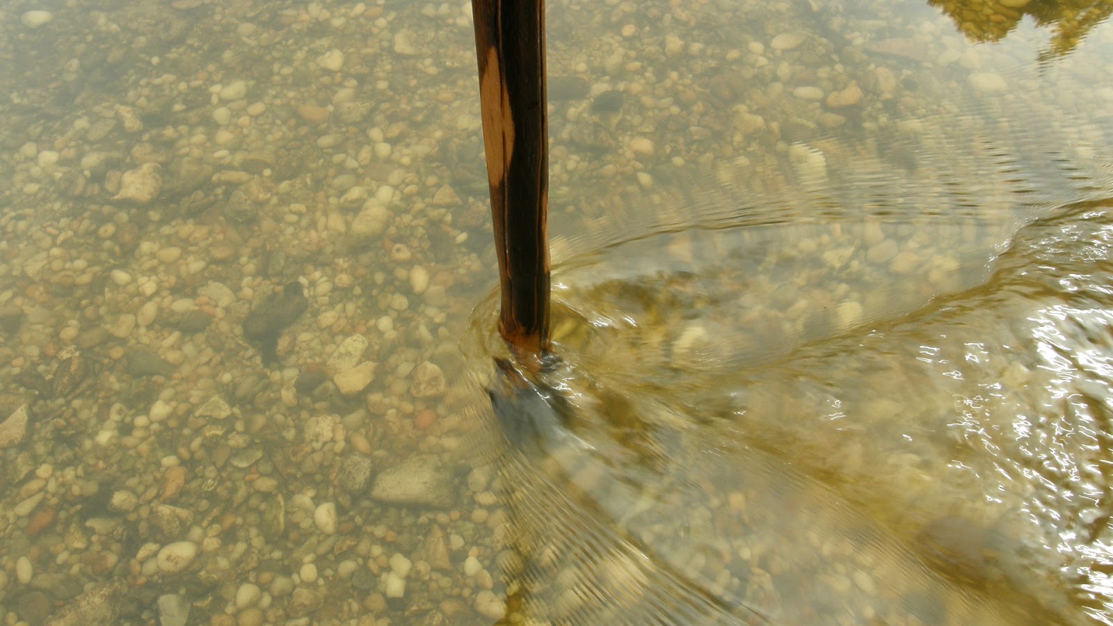
The current was strong there.
Conclusions: I have never been in a forest with more types of trees than that found in Black Creek Wilderness. I found no scaling or cavities that could be considered diagnostic of Ivory-bill feeding or nesting activity, but the maturity and variety of the forest, along with its remoteness (we had no bars on our cell phones for most of the day), lead me to believe the Wilderness could support at least one pair of Ivory-bills. However, while both the Red Hills and the Beaverdam Creek areas are worthy of close study, I only plan on returning to the Beaverdam Creek area, there to investigate the hidden oxbow; but I will not return until cooler temperatures in the fall. The Southern summer has, in its last days of 2014, finally gotten the better of me.
*It should be noted for prospective visitors to this section of Black Creek Trail that, near Beaverdam Creek, we encountered a team of Hispanic men, workers clearing the trail of downed timber and overhanging growth. These men were armed only with axes and machetes, and a wheelbarrow full of ice and bottled water. The rest of the trail, to Highway 29, was clear and easy to navigate, thank goodness. I suspect they will have the trail completely clear of debris in time for fall turkey season.
No comments:
Post a Comment