IBWOH's: Brian Carlisle, Chris Carlisle.
Summary: Having spent an inordinate amount of time the past week poring over maps of the middle Pascagoula Wildlife Management Area, I set forth at the usual ungodly hour with my brother (after a refreshing four-hour sleep), southbound for the Pascagoula basin. Skies were clear, and a cool morning gave way to a mild midday. I had high hopes that we would be able to access Big Swamp, some kilometers north of Black Swamp, at the confluence of Black Creek and the Pascagoula River. It is a very isolated area of bottomland that, based on my research, I believe could be promising ivorybill habitat.
As some months before, when Richard and I attempted to access nearby Red Swamp, private land blocked our access to Big Swamp at every turn. We spent around two hours driving nervously down public roads that led deep into private land, finding only locked gates and innumerable POSTED signs. At times, we were likely only a few hundred yards from WMA land.
Frustrated, we drove back north and crossed the Pascagoula River to its east bank, intending to talk to someone at the WMA headquarters about how one would go about walking into Big Swamp. HQ was, of course, closed.
On our way out, we stopped at Josephine Sand Bar (on the Pascagoula River) and Upper and Lower Rimes Lakes, where Richard and I had been earlier this summer. An enormous flock of blackbirds could be heard behind the trees on the opposite shore of the river, and they soon rose into view, numbering in the hundreds. Then we spied several wood storks, and excitedly followed them to the Rimes lakes, where they allowed themselves to be photographed. It was the first time either of us had ever observed the species. They are magnificent!
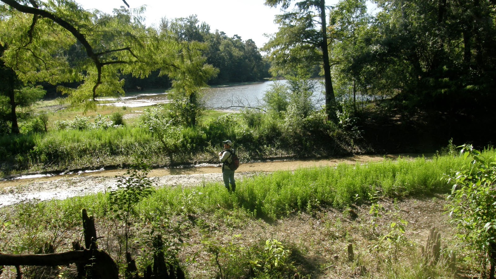
Returning to the west bank, we drove around some of the public roads until reaching McRae Dead River in the WMA. McRae Dead River is a long, narrow oxbow, once in the Pascagoula River channel, and does connect to the river in high water. Now the water is very, very low, allowing easy passage along its banks.
Summary: Having spent an inordinate amount of time the past week poring over maps of the middle Pascagoula Wildlife Management Area, I set forth at the usual ungodly hour with my brother (after a refreshing four-hour sleep), southbound for the Pascagoula basin. Skies were clear, and a cool morning gave way to a mild midday. I had high hopes that we would be able to access Big Swamp, some kilometers north of Black Swamp, at the confluence of Black Creek and the Pascagoula River. It is a very isolated area of bottomland that, based on my research, I believe could be promising ivorybill habitat.
As some months before, when Richard and I attempted to access nearby Red Swamp, private land blocked our access to Big Swamp at every turn. We spent around two hours driving nervously down public roads that led deep into private land, finding only locked gates and innumerable POSTED signs. At times, we were likely only a few hundred yards from WMA land.
Frustrated, we drove back north and crossed the Pascagoula River to its east bank, intending to talk to someone at the WMA headquarters about how one would go about walking into Big Swamp. HQ was, of course, closed.
On our way out, we stopped at Josephine Sand Bar (on the Pascagoula River) and Upper and Lower Rimes Lakes, where Richard and I had been earlier this summer. An enormous flock of blackbirds could be heard behind the trees on the opposite shore of the river, and they soon rose into view, numbering in the hundreds. Then we spied several wood storks, and excitedly followed them to the Rimes lakes, where they allowed themselves to be photographed. It was the first time either of us had ever observed the species. They are magnificent!
Wood stork with (I believe) an immature little blue heron.
I'd been hoping to see a wood stork all summer.
I suppose they will depart shortly for a warmer clime.
Returning to the west bank, we drove around some of the public roads until reaching McRae Dead River in the WMA. McRae Dead River is a long, narrow oxbow, once in the Pascagoula River channel, and does connect to the river in high water. Now the water is very, very low, allowing easy passage along its banks.
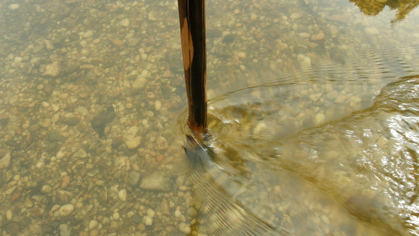
Brian crosses a cold, clear stream flowing into McRae Dead River.
The water was low enough here to cross what is normally a shallow end of the oxbow, near a ruined beaver dam.
We took the opportunity to explore the surrounding forest. It is generally youthful mixed bottomland, with a few widely-spaced older individuals, usually water oaks; and there is a nice grove of mature live oaks. The forest is interspersed with wild tangles of blackberry, muscadine, and brush, that makes the going difficult. Human activity is very obvious at the lake, in the form of the rotting hulks of two fiberglass boats and numerous cans and bottles littering the shoreline. As far as potential IBWO habitat, I would rank the area around McRae Dead River rather low, much lower than the mixed forest to the north, around Hutson Lake. I could find no signs of scaling on any of the living trees. Finding that the forest grew progressively less promising the farther we progressed, we called it a day and turned around less than halfway around the lake.
Shagbark hickory.
I think this is a Fowler's toad. I hope someone more knowledgeable will correct me if I am wrong.
The cypresses are ever so slightly shifting to their autumn dress.
The lake, as well as the Pascagoula River itself, is very low.
Conclusions: Big Swamp is, by our best reckoning, inaccessible save by boat. Until we obtain kayaks, access to some of the most promising ivorybill habitat in the Pascagoula WMA will be limited mostly to the area around Hutson Lake, where there is still some areas that we have not explored. Big Swamp, and Black Swamp further south, yet remain tantalizingly beyond our grasp, for now.


